
As an Amazon Associate, I earn from qualifying purchases.
In this article 9 sections
"What evacuation zone am I in?" is one of the most important questions you can answer before a hurricane, and it is best answered on a calm, sunny day, not while the wind is picking up. This page explains what an evacuation zone is, where to look up yours with official tools, why it is not the same as the flood zone on your insurance papers, and how to plan so an evacuation order does not catch you off guard.
Important first: this page is general information. Only your state or local emergency management officials can tell you your zone and whether to evacuate. If they order your area to evacuate, leave immediately (Ready.gov). In an emergency, follow their advice and orders, not a website.
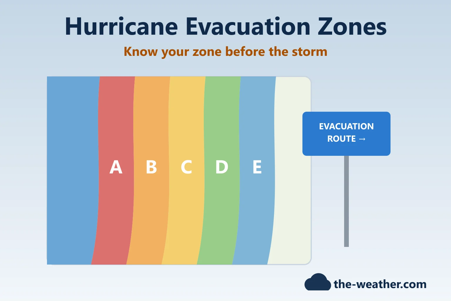
Short answer: a hurricane evacuation zone is an area that officials may order to evacuate during a hurricane, mainly because of the risk of storm surge. The National Hurricane Center says evacuation zones "are drawn at a local and state level", so letters and colors differ by place. To find yours, use your state or county emergency management website, which is what Ready.gov advises. Your evacuation zone is not the same as your FEMA flood zone: a home can be in one and not the other (Hillsborough County, FL).
Editorial Research
- Written by
- Lena Thornton, Weather Station Analyst & CWOP Contributor
- Based on
- Ready.gov (hurricanes and evacuation), the National Hurricane Center's National Storm Surge Risk Maps, NOAA's Hurricane Research Division FAQ, the state emergency management agencies of Florida, South Carolina, North Carolina, Virginia and Connecticut, Hillsborough County and Martin County (FL), the City of Tampa, and Midland's product page and owner's manual for the ER40
- Hands-on testing
- Not performed by The-Weather.com for the radio on this page
- Research last verified
- October 20, 2026
What Is a Hurricane Evacuation Zone?
It is a mapped area that is most likely to be told to leave when a hurricane threatens. The biggest reason is water. Ready.gov puts it plainly: "Historically, storm surge is the leading cause of hurricane-related deaths in the United States" (our page What Is Storm Surge? explains why). The zones are drawn locally, but the science behind them is national: NOAA's SLOSH storm surge model covers 39 coastal "basins" along the U.S. East and Gulf coasts, Puerto Rico, the Bahamas, the Virgin Islands and Hawaii, and the interagency committee that governs updates to those basins also manages the hazard analysis for the Hurricane Evacuation Studies under FEMA's Hurricane Program (NOAA HRD FAQ).
How zones are named depends on where you live. Two examples from official sources:
- Florida: the state's Know Your Zone map shows colored, lettered zones. The Florida Division of Emergency Management (FDEM) explains that Zone A is typically the most vulnerable and most likely to evacuate first; the last letter (E, or F in some places) is most likely to evacuate last. FDEM also names people in mobile homes, unsafe structures or low-lying, flood-prone areas among those most likely to be evacuated (FDEM). One thing that can confuse: Florida's map describes its colored evacuation zones as "flood zones". They are still not the FEMA flood zones used for insurance (see below).
- Hillsborough County, Florida: zones run from A to E, and parts of the county are not in any evacuation zone. The county also notes that its map changed significantly in 2022, so some residents were placed in a different zone, or in a zone for the first time (Hillsborough County).
Other states and counties use their own systems. So the letter on a friend's map in another state tells you nothing about yours.
Evacuation Zone vs Flood Zone: Not the Same Thing
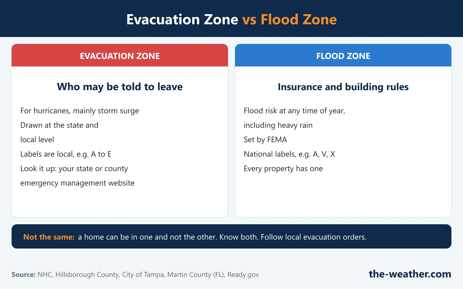
| Evacuation zone | Flood zone | |
|---|---|---|
| What it is for | Deciding which areas may be ordered to evacuate during a hurricane | Flood insurance premiums and some building requirements |
| Based on | Mainly storm surge | Risk of flooding at any time of year, including heavy rain |
| Who draws it | State and local officials (NHC); Hillsborough County says its zones are mapped by the National Hurricane Center | FEMA |
| Labels | Local, for example A to E | National, for example Zones A, V and X |
Sources: NHC National Storm Surge Risk Maps, Hillsborough County, City of Tampa and Martin County, FL (FEMA flood zones).
The confusing part: both systems can use the letter "A". A FEMA "Zone A" (a high-risk flood zone) and a county "Evacuation Zone A" are unrelated. Hillsborough County gives two examples: a home may be outside any evacuation zone but still in a high-risk flood zone because of a nearby pond or stream; or it may be in a low-risk flood zone but in an early evacuation zone because of storm surge or high winds. Their advice: know both, and the difference between them.
How to Find Your Evacuation Zone
Ready.gov: "Many states have designated evacuation zones and predetermined evacuation routes. Learn your state and local plans by visiting your state and county emergency management websites" (Ready.gov). Some state lookups we checked:
| State | Official lookup | Good to know |
|---|---|---|
| Florida | Know Your Zone (FDEM) | Colored, lettered zones; check your county's page too |
| South Carolina | Know Your Zone (SCEMD) | Interactive map of coastal evacuation zones |
| North Carolina | Know Your Zone (NC Emergency Management) | Address lookup for the coastal counties with zones |
| Virginia | Know Your Zone (VDEM) | Address lookup for coastal Virginia |
| Connecticut | Know Your Zone evacuation maps (DEMHS) | Shoreline evacuation maps |
| Anywhere else | Your state and county emergency management website | Many coastal counties run their own lookup by address |
Links checked on October 20, 2026. If a link has moved, search your state's emergency management agency for "Know Your Zone".
- Look up your address with the official tool for your state or county.
- Check your storm surge risk too. The National Hurricane Center's National Storm Surge Risk Maps show where surge could reach, sometimes many miles inland. They are not your evacuation zone, but the NHC says: if they show you are vulnerable, find out today whether you live in a storm surge evacuation zone set by your local emergency management agency.
- Write it down, and check it again every season. Put your zone on the fridge and in your phone notes, so you are not loading a busy map during a storm (the City of Tampa warns its lookup can take 2 to 3 minutes during high demand). Zone maps can change, as Hillsborough County's did in 2022, so look it up again before each hurricane season.
- Sign up for local alerts. Ready.gov advises signing up for alerts from your local emergency management agencies and the National Weather Service. Wireless Emergency Alerts need no sign-up.
- Need extra help? Ready.gov asks households to identify early whether someone may need additional help in an emergency, for example a person with a disability. Some states run registries for this; Florida, for example, has a Special Needs Registry (FDEM). Ask your county emergency management office what exists where you live.
Leave or Stay? Follow Your Local Officials
An evacuation zone on its own is not an order, and not every zone is ordered to evacuate in every storm, as Florida's emergency managers point out. What decides it is the advice and orders of your local officials:
- If your zone is ordered to evacuate: go. Ready.gov: "If you live in a mandatory evacuation zone and local officials tell you to evacuate, do so immediately."
- If you live in a mobile home, an unsafe structure or a low-lying, flood-prone area: Florida's guidance says to follow all evacuation orders for those situations.
- If you are not in an ordered evacuation zone, and not in a low-lying, flood-prone area, a mobile home or an unsafe structure: Florida's guidance says it may be safer to stay in your home, if it can withstand strong winds and heavy rain. Always follow your local officials' advice and orders.
Ready.gov also says to leave early enough to avoid being trapped by severe weather. The alerts that usually come before an order, hurricane and storm surge watches and warnings, are explained in Hurricane Watch vs Hurricane Warning.
Plan Your Evacuation Before the Season
From Ready.gov's evacuation and hurricane pages:
On the road, Ready.gov advises following the recommended routes without shortcuts, watching for washed-out roads and downed power lines, and never driving into flooded areas. Before you head home, check with officials both where you are staying and back home. Our 72-hour weather survival guide helps with what to pack.
The Radio in the Go-Bag
Ready.gov's evacuation advice includes listening to a battery-powered radio and following local evacuation instructions. One option for a go-bag is the Midland ER40, which per Midland can be recharged by hand crank, sun or USB. Its specifications list NOAA weather alerts, AM/FM, a 2,600 mAh battery, a flashlight with SOS strobe and USB phone charging. Its manual says it will not receive alerts while it is charging another device, and Midland does not mention SAME county filtering. We have not tested it ourselves; the full details are in our Midland ER40 review.
For your go-bag
Midland ER40 crank and solar NOAA weather radioon Amazon · opens in a new tabAffiliate link: we may earn a commission if you buy through it, at no extra cost to you. More options in our emergency weather radios and weather radios for hurricane season pages.
Evacuation Zone FAQ
What evacuation zone am I in?
Look it up on your state or county emergency management website, which is where Ready.gov sends you. Many coastal states and counties offer an address lookup, such as the Know Your Zone maps of Florida, South Carolina, North Carolina and Virginia. We cannot tell you your zone; only your local officials' maps can.
Is an evacuation zone the same as a flood zone?
No. An evacuation zone shows which areas may be ordered to evacuate during a hurricane, mainly because of storm surge. A FEMA flood zone shows flood risk at any time of year for insurance and building rules. A home can be in one and not the other.
What does evacuation Zone A mean?
It depends on where you live, because zones are drawn locally. In Florida, the state says Zone A is typically the most vulnerable and most likely to evacuate first. Do not confuse it with FEMA flood "Zone A", which is a different system.
Do I have to evacuate if I am in an evacuation zone?
Being in a zone is not an order by itself, and not every zone is ordered in every storm. When local officials order your zone to evacuate, Ready.gov says to do so immediately.
I am not in an evacuation zone. Am I safe?
Not automatically. Florida's guidance says people in mobile homes, unsafe structures or low-lying, flood-prone areas should follow evacuation orders, and Hillsborough County notes that a home outside the evacuation zones can still be in a high-risk flood zone. Follow your local officials' advice and orders during every storm.
Update Log
- October 20, 2026: First version. State lookup links and safety guidance checked against the official pages below.
Sources
- Ready.gov: Evacuation and Ready.gov: Hurricanes
- National Hurricane Center: National Storm Surge Risk Maps
- NOAA Hurricane Research Division: Tropical Cyclone FAQ (SLOSH model)
- FDEM: Know Your Zone, Know Your Home and FDEM: Access and Functional Needs Planning
- South Carolina EMD: Know Your Zone, North Carolina Emergency Management: Know Your Zone, Virginia VDEM: Know Your Zone, Connecticut DEMHS: Know Your Zone
- Hillsborough County, FL, City of Tampa and Martin County, FL: evacuation zones vs flood zones
- Midland ER40: product page and owner's manual
Related: Storm surge · Watch vs warning · Track a hurricane live