
As an Amazon Associate, I earn from qualifying purchases.
In this article 10 sections
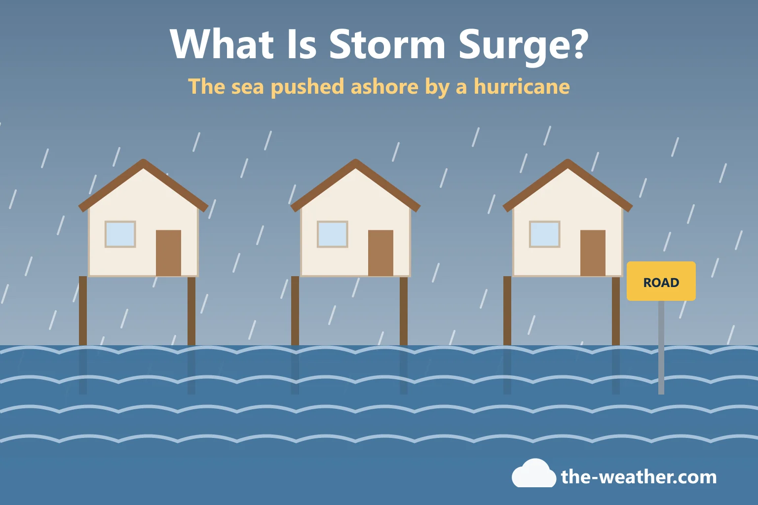
When people picture a hurricane, they picture wind: bending palm trees, a reporter holding on to a pole. But the part that takes the most lives is quieter. It is the sea itself, pushed onto land and into streets, garages and living rooms. That is storm surge. Here is what it is, what it actually looks like, what makes it higher, and how to find out whether your home is in its path.
Short answer: storm surge is "an abnormal water level rise generated by a storm over and above the predicted astronomical tide", mainly caused by a hurricane's strong onshore winds. The National Hurricane Center calls it "currently the leading cause of fatalities from hurricanes". Combined with high tide, the water can reach 20 feet or more in some cases, and it can travel up rivers and canals well inland (National Hurricane Center).
Editorial Research
- Written by
- Lena Thornton, Weather Station Analyst & CWOP Contributor
- Based on
- The National Hurricane Center's storm surge overview, National Storm Surge Risk Maps and glossary, the National Weather Service's watch and warning definitions, and Ready.gov
- Hands-on testing
- Not performed by The-Weather.com for the radio on this page
- Research last verified
- October 20, 2026
Storm Surge vs Storm Tide, in Plain English
Two terms you will see in forecasts:
- Storm surge is the extra water the storm adds, on top of the normal tide.
- Storm tide is the total: storm surge plus the normal (astronomical) tide.
That is why timing matters so much. The NHC explains that flooding is most extreme when the surge arrives with normal high tide. And neither number includes the waves on top: the NHC notes that wave action comes on top of the surge. Think of the surge as raising the whole sea level near the coast, and the waves as running on top of that higher water.
What Does Storm Surge Look Like?
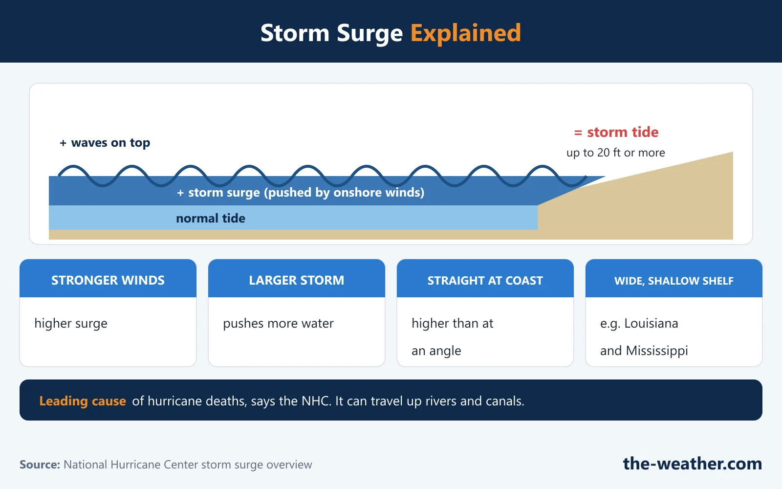
Many people expect a single giant wave. That is not how the NHC describes it. Out in deep water there is no sign of surge at all. As the storm reaches shallower water near the coast, the ocean floor gets in the way of the circulation the wind sets up in the water, and the water "begins to move upward and inland". On land it looks like the sea rising and moving inland, with waves on top, and the NHC notes it can travel up rivers and canals well inland. The NHC's storm surge overview has short animations that show how storm size and the shape of the sea floor change the surge; they are the best official answer to "what does it look like".
And it is heavy. The NHC points out that water weighs about 1,700 pounds per cubic yard. Add waves pounding on top and the surge lets those waves reach farther inland than normal, damaging buildings, beaches and coastal roads. In ports and marinas, the mix of storm tide, waves and currents can do severe damage too.
The NHC uses Hurricane Ian (2022) as a reminder: storm surge was linked to 41 deaths in that storm. And NOAA's history timeline notes that Hurricane Katrina (2005) put the Mississippi and Alabama Gulf coast under a 27-foot storm surge (NOAA HRD FAQ).
What Makes Storm Surge Higher?
According to the NHC, surge is sensitive to even small changes in these factors:
| Factor | Higher surge when... |
|---|---|
| Wind strength | The winds are stronger. |
| Storm size | The storm is larger: its winds push on a bigger patch of ocean and affect the coast for longer. |
| Forward speed | A faster storm builds a higher surge right at the coast; a slower storm pushes the surge farther inland. |
| Angle of approach | The storm comes straight at the coast, not along it or at a shallow angle. |
| Continental shelf | The ocean floor offshore is wide and gently sloping. The NHC names the Gulf Coast, especially Louisiana and Mississippi, as particularly vulnerable for this reason, while Florida's southeast coast has a shelf that drops off quickly. |
| Coastline shape | The coast curves inward, like a bay (the NHC uses Apalachee Bay as an example), rather than outward; barrier islands, inlets and sounds also change how the water flows. |
Source: National Hurricane Center storm surge overview.
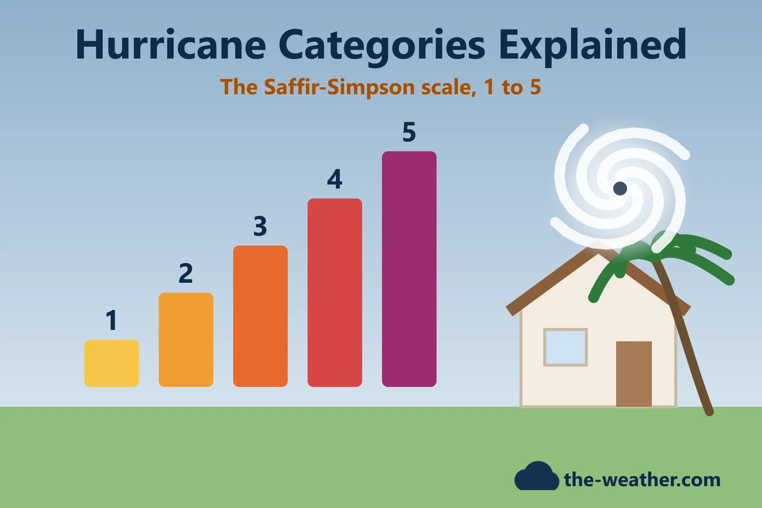
Notice what is missing from that list: the hurricane's category. The Saffir-Simpson category measures wind only, and the NHC stresses that hurricanes of all categories can produce deadly surge. A large, slow storm with a modest category can still flood a wide area.
Storm Surge Watch vs Storm Surge Warning
Storm surge has its own alerts, separate from the hurricane wind alerts. The National Weather Service defines them like this (NWS):
Storm Surge Watch
Life-threatening flooding from rising water moving inland from the shoreline is possible somewhere in the area, generally within 48 hours.
Do: check your evacuation zone and your plan.
Storm Surge Warning
That danger is expected somewhere in the area, generally within 36 hours.
Do: check for evacuation orders from local officials and follow them.
The NWS adds a line that is worth reading twice: "Evacuate immediately if told to do so." The same watch and warning system for wind is explained in Hurricane Watch vs Hurricane Warning.
How to Check Your Own Storm Surge Risk
- Look at the NHC National Storm Surge Risk Maps. They cover the U.S. Gulf and East coasts, Hawaii, Southern California, Puerto Rico, the U.S. Virgin Islands, Guam and American Samoa. The NHC says they make clear that surge "is not just a beachfront problem": in some areas the risk extends many miles inland (NHC surge risk maps).
- Find out if you are in an evacuation zone. The NHC's advice: if the maps show you are in a vulnerable area, find out today whether you live in a storm surge evacuation zone set by your local emergency management agency, and decide where you would go. Our page on hurricane evacuation zones explains how to look yours up.
- Not in a zone? Be someone's destination. The NHC suggests that if you live outside the zones, in a home that is safe from the wind and outside flood-prone areas, you could plan to be the inland evacuation destination for someone who does live in a zone.
Stay Safe Around Surge and Floodwater
Safety points from Ready.gov: Hurricanes and Ready.gov: Evacuation.
A Weather Radio for the Go-Bag
A storm surge warning means the danger is expected generally within 36 hours, and evacuation orders come from local officials. Ready.gov's evacuation advice includes listening to a battery-powered radio, so you hear both even if the power is out. One option is the Midland ER40, a crank and solar NOAA weather radio; its strengths and limits (per Midland, not tested by us) are in our Midland ER40 review.
For the go-bag
Midland ER40 crank and solar NOAA weather radioon Amazon · opens in a new tabAffiliate link: we may earn a commission if you buy through it, at no extra cost to you. Want county filtering for your bedside? See our NOAA weather alert radios page.
Storm Surge FAQ
What causes storm surge?
Mainly the strong onshore winds of a hurricane or tropical storm. In shallow water near the coast, the ocean floor stops the water from circulating downward, so it moves upward and inland, according to the National Hurricane Center.
How high can storm surge get?
The NHC says that when storm surge coincides with normal high tide, storm tides can reach up to 20 feet or more in some cases. Waves come on top of that.
How far inland can storm surge go?
It depends on the storm and the land, but the NHC says surge can travel up rivers and canals well inland, and its risk maps show the danger extending many miles from the coast in some areas. A slower storm pushes the surge farther inland.
Can a Category 1 hurricane or a tropical storm cause storm surge?
Yes. The National Hurricane Center states that hurricanes of all categories can produce deadly storm surge, and the NWS can issue storm surge watches and warnings even for storms that are not yet tropical cyclones or have lost their tropical characteristics.
Does the hurricane category tell me how big the surge will be?
No. The Saffir-Simpson category measures wind only. Surge also depends on the storm's size, speed, angle and the shape of the coast and ocean floor, which is why the NWS issues separate storm surge watches and warnings.
Update Log
- October 20, 2026: First version, built on the NHC storm surge overview and risk maps.
Sources
- National Hurricane Center: Storm Surge Overview
- National Hurricane Center: National Storm Surge Risk Maps
- National Hurricane Center: Glossary
- National Weather Service: Hurricane and Tropical Storm Watches and Warnings
- Ready.gov: Hurricanes and Ready.gov: Evacuation
- NOAA Hurricane Research Division: Tropical Cyclone FAQ (Katrina timeline)
- Midland ER40: product page and owner's manual
More in this series: What is a typhoon? · Hurricane categories · Watch vs warning · Evacuation zones · Track a hurricane live