
As an Amazon Associate, I earn from qualifying purchases.
In this article 10 sections
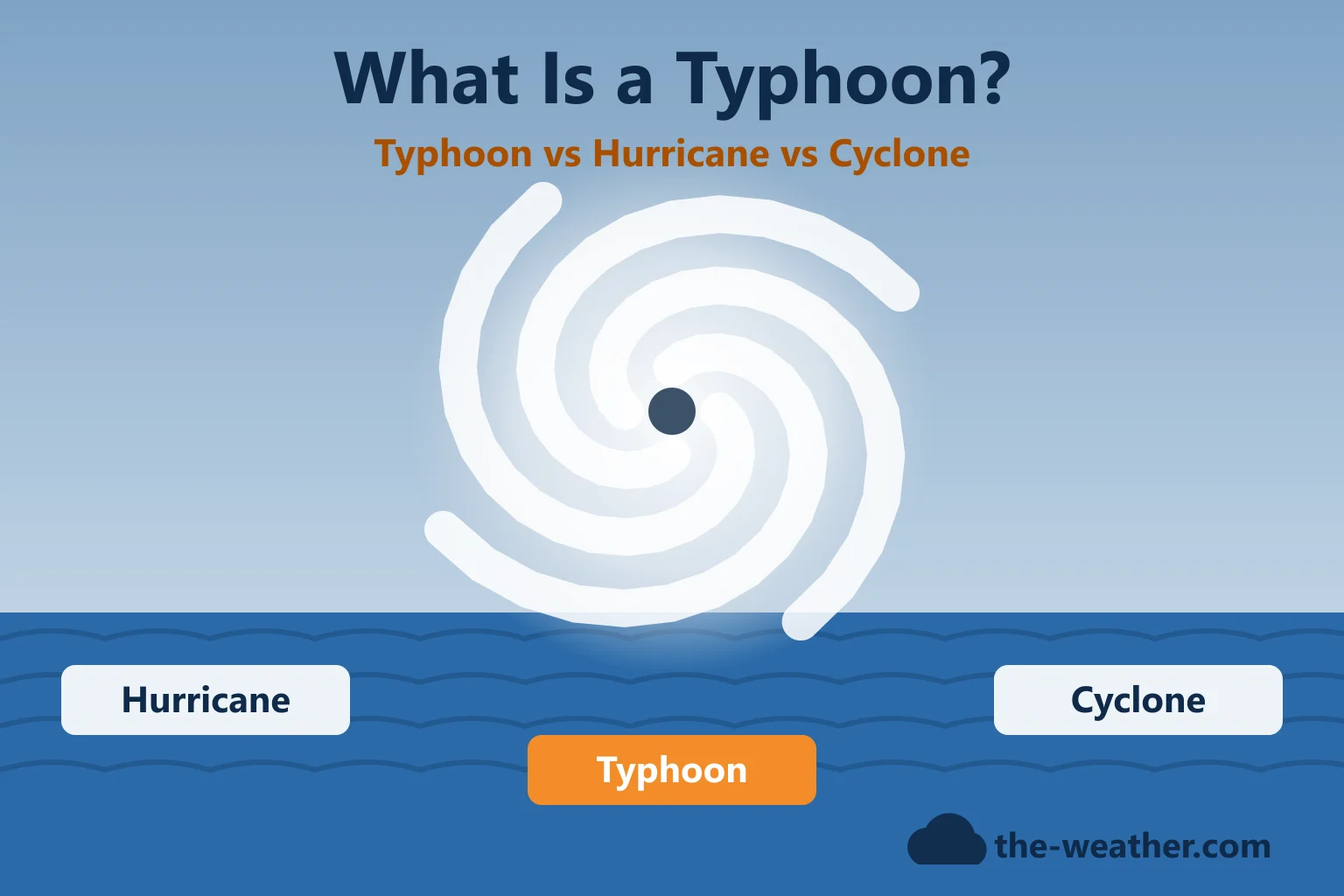
A hurricane is a bit like a campfire that feeds itself: warm, moist air rises, the heat it releases pulls in more warm, moist air, and the whole thing starts to spin. The same recipe makes a typhoon in the western Pacific and a cyclone in the Indian Ocean. Here are the ingredients NOAA's hurricane researchers list, how a storm grows an eye, and what decides where it goes.
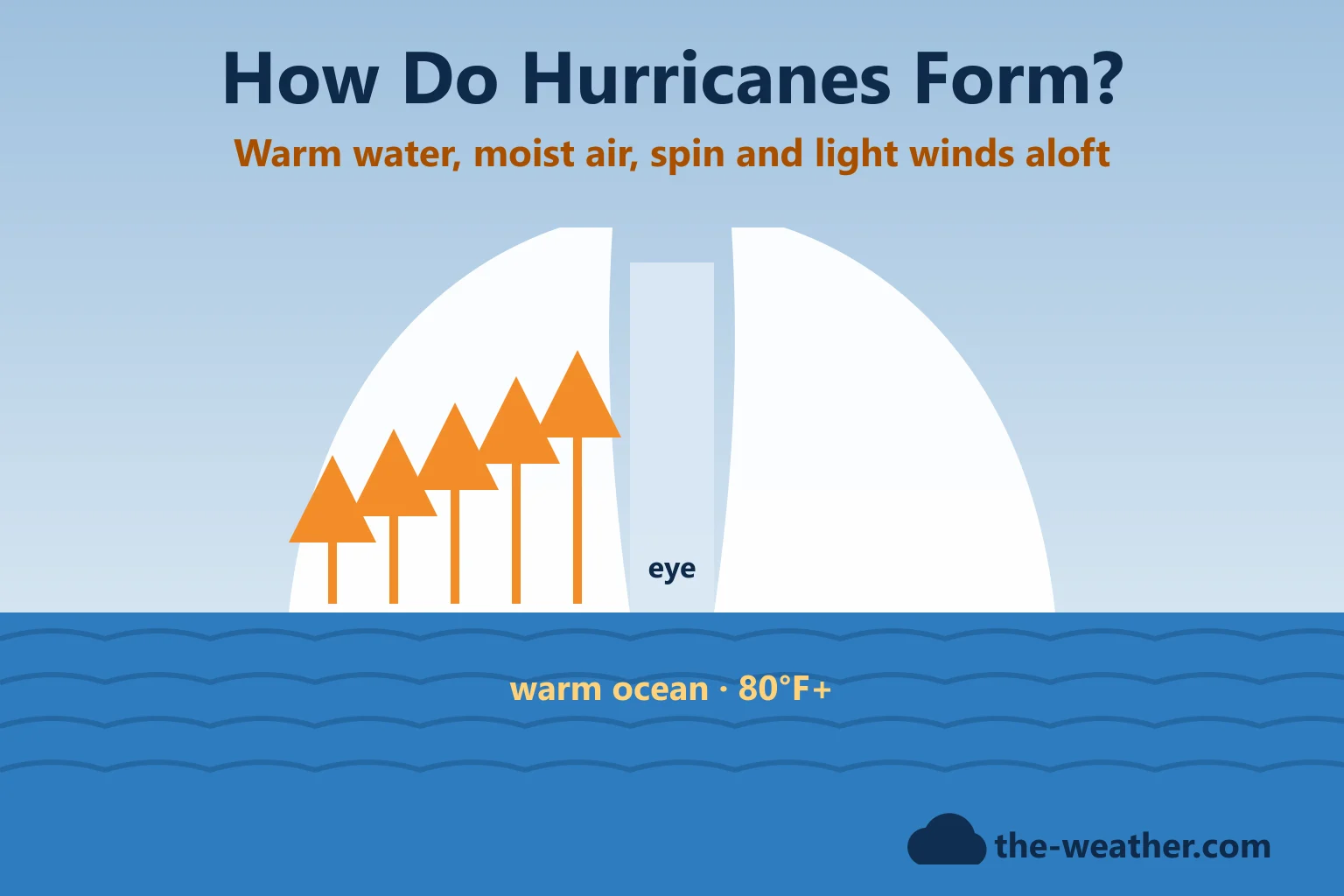
Short answer: hurricanes and typhoons form over tropical oceans when several conditions come together: sea water of at least 80°F to a depth of about 150 feet, a moist atmosphere that lets thunderstorms grow tall, enough spin from Earth's rotation (the storm must be at least about 300 miles from the equator), and light winds aloft (low wind shear). NOAA adds that these conditions are "necessary but not sufficient": many disturbances that look promising never develop (NOAA Hurricane Research Division).
Editorial Research
- Written by
- Lena Thornton, Weather Station Analyst & CWOP Contributor
- Based on
- NOAA's Hurricane Research Division FAQ (formation, structure, movement, seasons), NOAA's National Ocean Service, the National Hurricane Center glossary and NOAA's August 2026 hurricane season outlook
- Research last verified
- October 20, 2026
The Four Ingredients
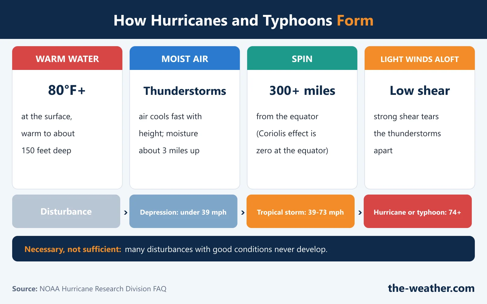
All four from NOAA HRD, "How Do Tropical Cyclones Form?".
NOAA's National Ocean Service sums it up in one line: a pre-existing weather disturbance, warm tropical oceans, moisture and relatively light winds. If the right conditions last long enough, they produce "the violent winds, large waves, torrential rains, and floods we associate with this phenomenon" (NOAA).
A fun side note from the same NOAA FAQ: the Coriolis effect is real for storms, but far too weak to decide which way your sink or toilet drains. That one is a myth.
Where the First Thunderstorms Come From
Every hurricane starts as something smaller. In the Atlantic, NOAA points to African easterly waves: ripples in the low-level winds that travel west from Africa from about April to November. NOAA says about 85% of intense hurricanes, and about 60% of smaller storms, start from one of these waves.
Other things can help or hurt. The Saharan Air Layer, a mass of dry, dusty air that drifts over the tropical Atlantic, can starve storms of moisture. The Madden-Julian Oscillation, a slow-moving pattern that circles the globe over weeks, can give storms a boost in one phase and hold them back in another. And El Niño and La Niña change the wind shear over parts of the Atlantic and shift where storms form in parts of the Pacific, according to NOAA. More on that in our El Niño vs La Niña hurricane seasons page.
From Disturbance to Hurricane
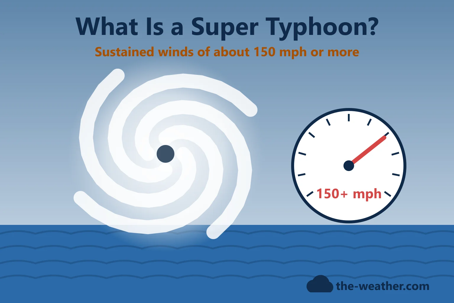
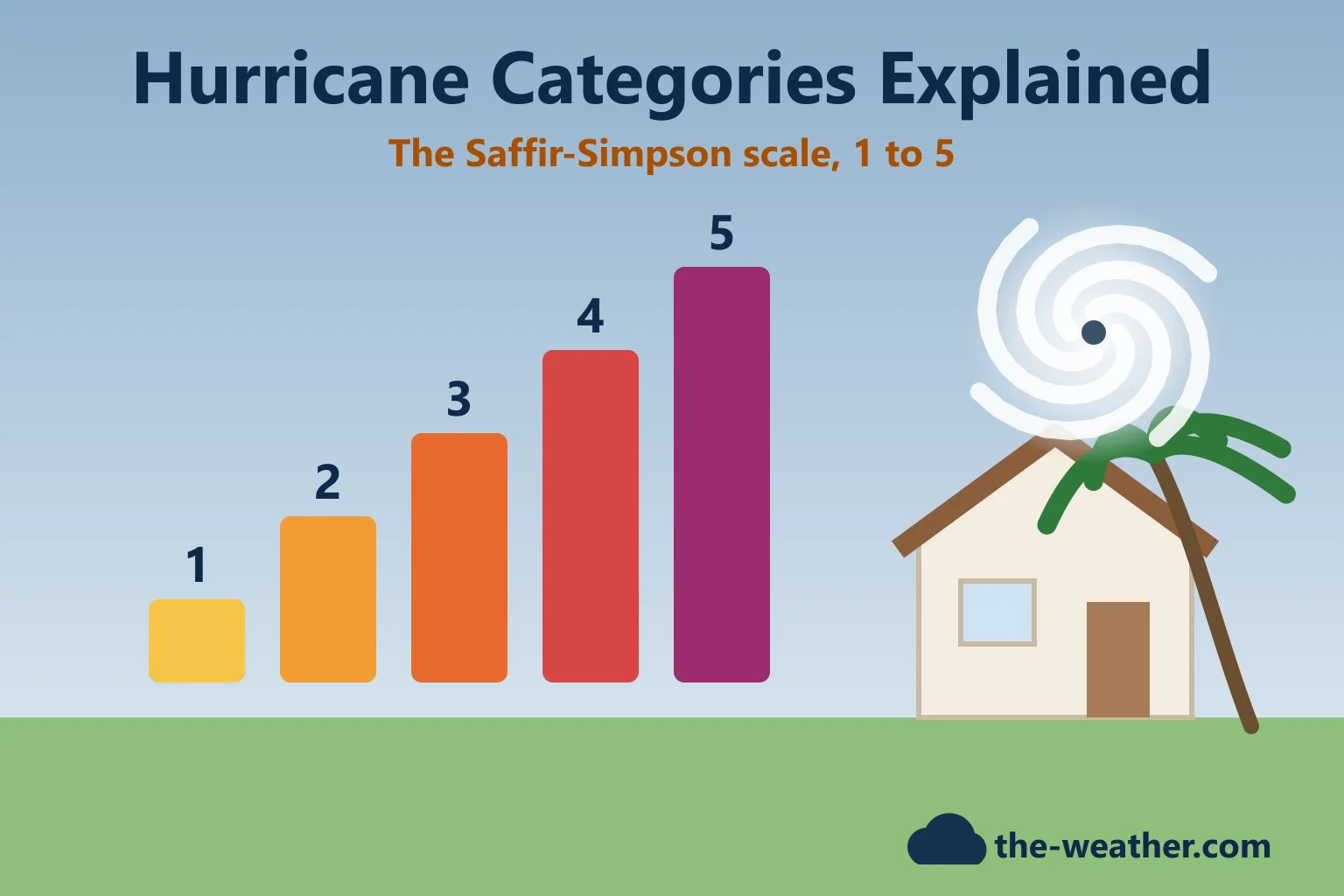
The storm grows through four stages: a tropical disturbance, a tropical depression, a tropical storm (39 mph, when it gets a name) and finally a hurricane or typhoon at 74 mph. The thresholds are explained on our main page, What Is a Typhoon? What happens inside the storm along the way is the interesting part. NOAA describes how, as a depression organizes, the thunderstorms line up in spiral bands along the inflowing wind, and the inner bands eventually close off into the eyewall. Once a storm is mature, it can go through "eyewall replacement cycles" in which the peak winds dip and then recover. Very fast strengthening has its own name; see our page on rapid intensification. And for how forecasters rate the result, see Hurricane Categories Explained.
The Eye, the Eyewall and the "Dirty Side"
- The eye is a roughly circular area of fair weather at the center, with the lowest surface pressure. NOAA says eyes range from 5 to 120 miles across, but most are 20 to 40 miles wide.
- The eyewall is the ring of deep thunderstorms around the eye, and it has the strongest surface winds of the whole storm.
- Spiral bands are the long, narrow bands of rain and thunderstorms that curl in toward the center.
Why are the winds worse on one side? Because the storm is moving. NOAA's example: a hurricane with 90 mph winds moving at 10 mph has about 100 mph on the side where its motion adds to the wind, and 80 mph on the other side. In the Northern Hemisphere that rougher "dirty side" is the right side, relative to the direction the storm is moving. Official advisories already include this in the maximum wind they report.
What Steers a Hurricane?
A former National Hurricane Center director, Dr. Neil Frank, compared it to a leaf being steered by the current in a stream; NOAA adds that for a hurricane, that stream has no set boundaries. The biggest current in the tropics is a semi-permanent high-pressure area called the subtropical ridge (in the Atlantic often called the Bermuda High). Storms south of it are pushed west; at its western edge they tend to turn north and then east, which is called recurvature. That is why many Atlantic hurricanes curve back out to sea without making landfall.
Landfall usually starts the end. Cut off from warm, moist ocean air and slowed by friction, a hurricane weakens. NOAA notes that over mountains this happens quickly, but over flat land it can take two to three days to break down the circulation, and the leftover tropical moisture can still cause major inland flooding.
A Real Example: When One Ingredient Is Missing
The ingredient list is not just theory. In 2026 the Atlantic went without a single hurricane until October 7. NOAA's August outlook expected a below-normal season mainly because of El Niño, which "increases wind shear, which tends to prevent tropical storms from forming or from getting stronger once formed" (NOAA, August 6, 2026). NOAA also named less influential factors, such as Atlantic water temperatures near average. An outlook covers the whole season, so it does not prove why each single storm failed, but it shows how one missing ingredient, light winds aloft, can hold a season back. We tracked that season in The 2026 Atlantic Hurricane Season Had No Hurricanes Until October.
Where Hurricanes Rarely Form or Survive
- Right at the equator: no Coriolis spin there.
- The South Atlantic: NOAA says "what never? Well, hardly ever." A hurricane did form there in March 2004 and made landfall in Brazil, but strong wind shear and the lack of a convergence zone usually prevent it.
- Off the U.S. West Coast: hurricanes that drift north rarely survive, because the ocean there rarely gets above the lower 70s. More in Hurricanes in the Pacific.
Hurricane Formation FAQ
How do hurricanes form, in simple terms?
Over warm tropical ocean water, thunderstorms release heat as warm, moist air rises. With enough moisture, spin from Earth's rotation and light winds aloft, the storms organize around a center, the pressure drops, the winds increase and a hurricane (or typhoon) forms.
How warm does the water need to be for a hurricane?
NOAA's Hurricane Research Division says the ocean surface should be at least 80°F (26°C), and warm to a depth of about 150 feet.
Where do typhoons form?
Over the warm waters of the northwest Pacific Ocean. The formation process is the same as for hurricanes; only the name is different because of the location. NOAA notes that during El Niño, more of them form farther east, between 160°E and the date line, and closer to the equator.
Why do hurricanes spin?
Because of the Coriolis effect from Earth's rotation. In the Northern Hemisphere they turn counter-clockwise, in the Southern Hemisphere clockwise. The effect is zero at the equator, which is why storms form at least about 300 miles away from it.
Why do hurricanes weaken over land?
They lose their supply of warm, moist ocean air, take in drier air and are slowed by friction. NOAA says over flat land it can take two to three days for the circulation to break down, and the moisture can still cause inland flooding.
Update Log
- October 20, 2026: First version. Formation science from NOAA's Hurricane Research Division; 2026 example from NOAA's August 2026 outlook and our own season tracking.
Sources
- NOAA Hurricane Research Division: Tropical Cyclone FAQ (formation, causes, life cycle, movement, eye and eyewall, "dirty side", South Atlantic, West Coast)
- NOAA National Ocean Service: hurricane vs typhoon
- National Hurricane Center: Glossary
- NOAA: below-normal 2026 Atlantic hurricane season outlook (August 6, 2026)
More in this series: What is a typhoon? · Typhoon season · Hurricane categories · How storms form (cyclogenesis)