
As an Amazon Associate, I earn from qualifying purchases.
In this article 9 sections
One morning you step outside in a T-shirt, the next you need a winter coat. Often nothing "happened" overnight except this: a different air mass moved in. Here is what an air mass is, the five types that shape North American weather, and how you can see one arrive on your own weather station.
Short answer: NOAA defines an air mass as "a large body of air with generally uniform temperature and humidity". It gets those properties from the area where it forms, its source region. Air masses are named with two letters: c (continental, dry) or m (maritime, moist), plus A (arctic), P (polar) or T (tropical). Where two air masses meet, you get a front, and that is where much of the weather happens.
Editorial Research
- Written by
- Lena Thornton, Weather Station Analyst & CWOP Contributor
- Based on
- NOAA JetStream on air masses and fronts
- Research last verified
- October 24, 2026
What an Air Mass Is
Picture a huge dome of air that sits over one region for days. If that region is frozen Canadian land, the air becomes cold and dry. If it is the warm Gulf of Mexico, the air becomes warm and humid. NOAA explains that the area where an air mass originates "is what provides its characteristics", and the longer it stays there, the more it takes on the traits of the surface below.
Then the winds aloft push it somewhere else, and it brings that temperature and humidity with it. That is why a cold snap in Texas can feel like Canada: in a way, it is Canadian air.
How Air Masses Are Named
The names look like code, but they are simple. NOAA uses two parts:
- Moisture: c = continental, formed over land, so dry. m = maritime, formed over the ocean, so moist.
- Temperature: A = arctic, very cold. P = polar, cold but less so, from higher latitudes. T = tropical, warm to hot, from lower latitudes.
Put them together and you get the type: cP means continental polar, mT means maritime tropical.
The Air Masses That Shape North American Weather
| Air mass | Forms over | Feels like |
|---|---|---|
| cA continental arctic | The polar regions | Very cold and dry: the bitter cold outbreaks |
| cP continental polar | Land at higher latitudes, such as northern Canada | Cold and very dry, not as cold as cA |
| mP maritime polar | Oceans at higher latitudes, such as the North Pacific and North Atlantic | Cool to cold and moist: clouds, drizzle, coastal rain and snow |
| mT maritime tropical | Warm oceans such as the Gulf of Mexico | Warm and humid: muggy summer days, fuel for thunderstorms |
| cT continental tropical | Hot, dry desert regions at lower latitudes | Hot and dry |
cA, cP, mP and cT properties from NOAA JetStream. The mT description and the example source regions are standard textbook descriptions.
Air Masses Change as They Travel
An air mass does not stay the same forever. NOAA gives two examples:
- A continental arctic air mass that moves over the ocean in winter picks up warmth and moisture and becomes maritime polar air.
- A continental polar air mass that moves south into the southern U.S. picks up warmth from the ground, but stays dry.
That is why the same cold outbreak feels different in Minneapolis and in Atlanta.
Where Air Masses Meet: Fronts
The boundary between two air masses is a front. NOAA names fronts after what they bring:
- Cold front: a colder air mass replaces a warmer one. Its steep slope lifts warm air abruptly, often giving a narrow band of showers and thunderstorms.
- Warm front: warm air replaces cold air. Its gentle slope gives widespread layered clouds and rain or snow ahead of it.
- Stationary front: the boundary does not move much.
- Dry line: separates moist Gulf air from dry desert air, usually north-south across the central and southern High Plains in spring and early summer. NOAA notes it tends to move east in the afternoon and west at night.
Our page on weather fronts goes into each one, including occluded fronts.
Watch an Air Mass Arrive on Your Weather Station
A home weather station is a great air mass detector. When a cold front passes, you will often see this within a few hours:
- the temperature drops,
- the dew point drops even more (drier air),
- the wind shifts direction,
- the barometric pressure rises after reaching its lowest point.
The dew point is the best clue: temperature changes every day and night, but a big change in dew point usually means new air has moved in. Moist maritime air keeps the dew point high; dry continental air pulls it down.
Air Mass FAQ
What is an air mass?
NOAA defines it as a large body of air with generally uniform temperature and humidity. It gets those properties from the region where it forms.
What are the main types of air masses?
For North America: continental arctic (cA), continental polar (cP), maritime polar (mP), maritime tropical (mT) and continental tropical (cT).
What do the letters c and m mean?
c stands for continental (formed over land, dry) and m for maritime (formed over the ocean, moist).
What happens when two air masses meet?
They form a front. Cold fronts often bring a narrow band of showers and storms; warm fronts bring wide areas of layered clouds and steady rain or snow.
Can an air mass change?
Yes. NOAA notes that arctic air moving over the ocean in winter becomes maritime polar air, and polar air moving into the southern U.S. warms up but stays dry.
Update Log
- October 24, 2026: First version, based on NOAA JetStream.
Sources
- NOAA JetStream: Air Masses
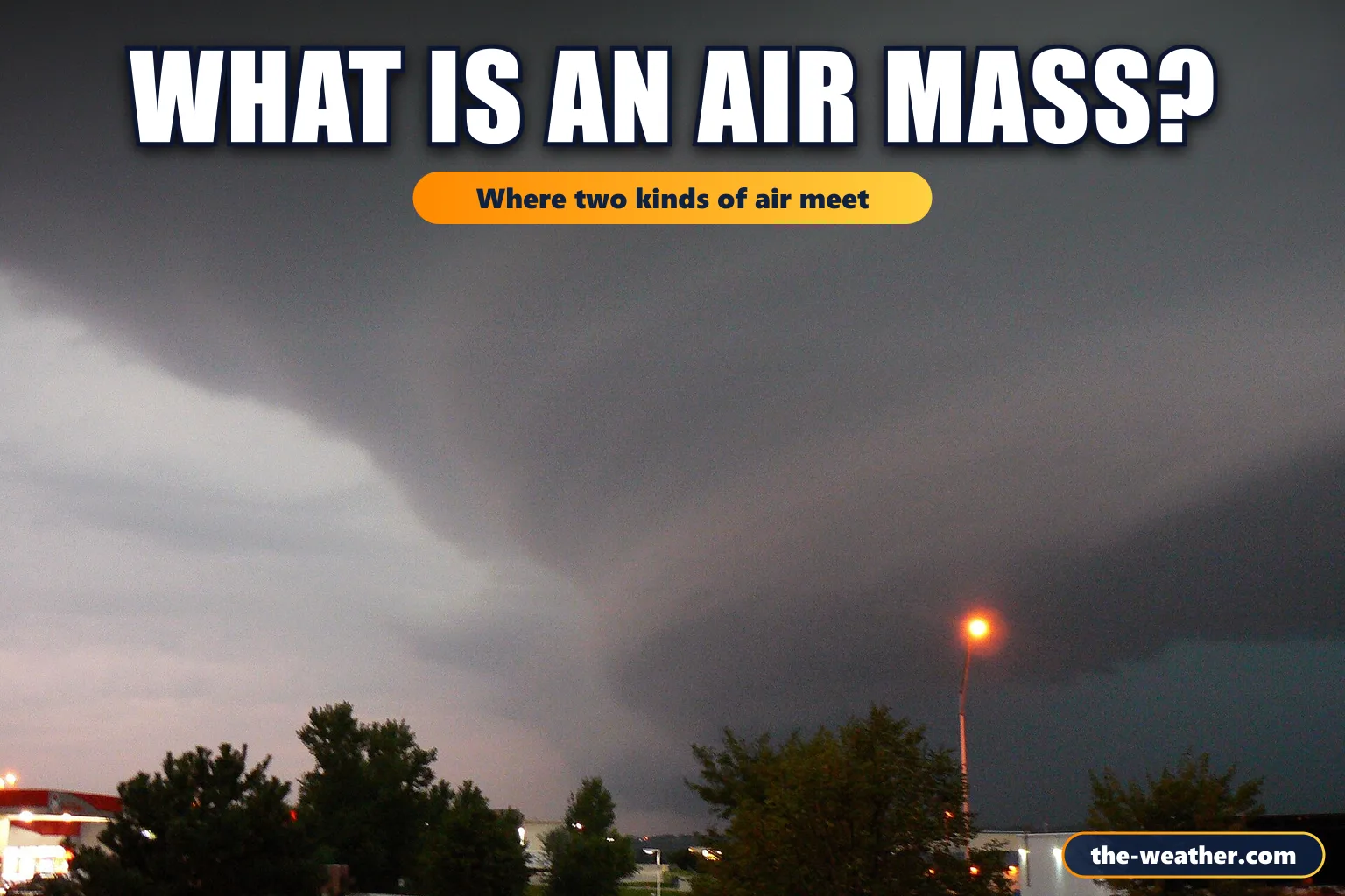
- Photo: Public domain photo (Wikimedia Commons, MONGO): storm front, public domain, via Wikimedia Commons
More weather basics: Weather fronts · How latitude affects climate · Layers of the atmosphere