

We may earn a commission when you buy through links on this page, at no extra cost to you. Learn more
In this article 5 sections
Altostratus Cloud Identification: Mid-Level Layers and Rain Signals
The altostratus cloud is a mid-level atmospheric formation that typically appears as a uniform gray or bluish sheet covering the entire sky. It is a critical member of the types of clouds family, serving as a primary indicator of an approaching warm front. Identifying altostratus is essential for predicting steady, long-duration precipitation events in temperate climates.
Physical Appearance and the Ground Glass Effect
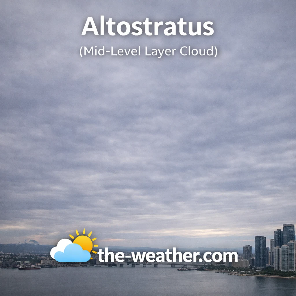
Altostratus clouds form widespread gray layers ahead of rain or snow.
Altostratus clouds are composed of a mixture of water droplets and ice crystals, reflecting their position in the middle levels of the troposphere. They are generally featureless and flat, lacking the distinct puffy elements seen in the low-level cumulus cloud. One of the most reliable ways to identify altostratus is by looking at the sun. When viewed through this cloud layer, the sun appears diffuse and blurry, an optical phenomenon often described by meteorologists as the "ground glass" effect.
Unlike the higher cirrostratus cloud, altostratus is thick enough to prevent the sun from casting a sharp shadow on the ground. It also lacks the halo phenomena associated with high-altitude ice veils. As the layer thickens, the sky may take on a darker gray hue, signaling that the cloud is transitioning into a more moisture-heavy state. Identifying these subtle shifts in light and opacity is a foundational skill for accurate sky observation and local weather forecasting.
Formation Physics and Atmospheric Lifting
The formation of altostratus occurs when a broad layer of relatively moist air is lifted gradually over a large area. This typically happens along the leading edge of a warm front, where warm air is forced up and over a cooler air mass. This gradual ascent causes the moisture to condense at mid-level altitudes, creating the expansive sheets we see from the ground. While they may appear similar to the wispy cirrus cloud, altostratus represents a much more saturated and stable atmospheric state.
In many cases, altostratus will produce "virga," which is rain or snow that begins to fall but evaporates before reaching the surface. This happens because the air layers beneath the mid-level cloud are still too dry to support liquid precipitation. However, as the lifting continues and the lower atmosphere saturates, the altostratus layer will eventually lower and thicken, becoming the actively precipitating nimbus clouds. Understanding this progression is key to identifying how frontal systems move through a region.
Recommended Books for Cloud Identification

If you want to go deeper than basic cloud charts, a dedicated cloud identification field guide can dramatically improve your understanding of altitude layers, cloud genera, and weather patterns.
Detailed photography and structured classifications make it easier to distinguish between similar formations such as altostratus vs. nimbostratus. Many meteorology students rely on these guides for accurate sky observation.
View Cloud Identification BooksDisclosure: As an Amazon Associate, we may earn from qualifying purchases at no extra cost to you.
Weather Signals and Frontal Prediction
Predicting steady rain requires identifying mid-level gray sheets.
From a forecasting perspective, altostratus is a highly reliable precursor to steady rain or snow. Its appearance generally indicates that precipitation is likely to arrive within 6 to 12 hours. Unlike the sudden and intense storms produced by the cumulonimbus cloud, the weather associated with altostratus transitions is usually long-lasting and moderate in intensity. This makes it an important cloud to monitor for agricultural planning and transportation safety.
As the cloud layer descends, it covers the entire sky, creating a uniform gray overcast that can persist for several hours before the first drops reach the ground. If the altostratus layer appears bluish, it often indicates a thinner layer with less imminent rain, while a dark gray appearance suggests a deeply saturated atmosphere. By combining visual identification of altostratus with observations of barometric pressure and wind direction, sky watchers can achieve a high degree of accuracy in short-term weather prediction.
Common Questions (FAQ)
How can I tell altostratus apart from stratus?
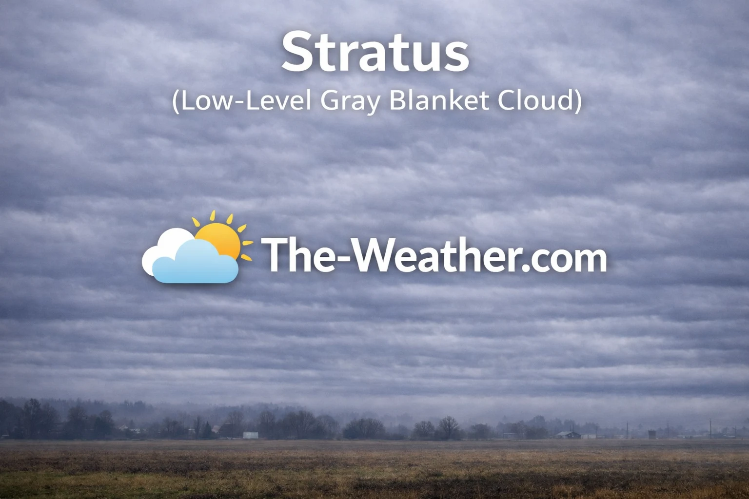
Altostratus is higher up and thin enough for the sun to be visible as a blurry disc. Low-level stratus is usually thicker and darker, completely hiding the sun.
Does altostratus produce lightning?
No, altostratus is a stable layer cloud. Lightning is produced only by convective clouds with intense vertical movement, primarily cumulonimbus.