HOW TO TELL IF A STORM IS COMING WITHOUT A FORECAST
Tune into nature’s built-in radar: Learn to read the subtle shifts in clouds, winds, animals, and even your own body to anticipate a storm’s arrival.


Thunder’s a wild, roaring puzzle that’s been shaking up our skies—and sparking our curiosity—forever. No two booms, claps, or rumbles ever sound the same, do they? One minute, you’re jolted by a sharp sound of a thunder that rattles your windows; the next, a low, growling thunder sound rolls in like a distant train. What’s behind this variety? It’s not just noise—it’s science, wrapped in nature’s unpredictable flair. For centuries, humans have been hooked on thunder’s voice. Ancient Greeks thought Zeus was hurling bolts, while Viking tales pinned it on Thor’s hammer. Today, we’re still counting seconds after a flash, marveling at its quirks. So, let’s dive into the big question: Why does thunder sound different every time? Stick around to decode the roar!
For more weather wonders, swing by our Weather Education page to level up your storm smarts!
Nature’s Warning Signs: Quick Insights
Before you get caught in a storm, learn to interpret nature’s subtle (and not-so-subtle) cues. Click on any insight to dive deeper!
☁️
Cloud Formations
Recognize the thunderheads, shelf clouds, and mammatus clouds that signal brewing storms.
🌬️
Wind & Air Shifts
Detect changes in temperature, humidity, and wind direction that precede stormy weather.
🐾
Animal Behavior
Observe how birds, insects, and livestock react to pressure drops and approaching weather.
🧘♀️
Body Sensations
Understand how barometric pressure drops can manifest as joint aches or headaches.
Nature’s Built-in Weather Radar
Imagine you’re hiking deep in the woods, far from cell service, when the sky starts to shift. No weather app, no radar—just you and the wild. Long before we had fancy tech, people relied on nature’s own signals to answer the big question: Can you sense a storm coming? From sailors scanning the horizon to farmers watching their livestock, these old-school tricks worked—and they still do today. Whether you’re camping, dealing with a power outage, or just curious, knowing how to tell if a storm is coming without a forecast is a skill worth having. In this guide, we’ll break down the signs—clouds, winds, animals, even your own body—so you can stay one step ahead of the weather.
What Are the Warning Signs of a Storm?
Storms don’t sneak up without dropping hints. Nature’s got a way of tipping you off if you know where to look. Let’s start with the air around you. A sudden drop in temperature often means a cold front’s rolling in, stirring up trouble. Ever notice how the air feels thick and sticky before rain? That’s humidity spiking as moisture builds. Winds can shift too—breezes from the south might carry warm, wet air, while a northern gust could signal a chilly showdown.
Then there’s the sky. Clouds are like nature’s billboards. If you see the sky darkening fast or spot towering, anvil-shaped cumulonimbus clouds, a storm’s brewing. Shelf clouds—those low, wedge-shaped formations—often mean gusty winds are on the way, while mammatus clouds (puffy, pouch-like) can signal a storm’s already overhead or just passed. And don’t forget that old saying: “Red sky in the morning, sailors take warning.” A crimson dawn often hints at wet weather approaching from the west, according to the National Weather Service.
Animals pick up on this too. Birds might dip lower to avoid turbulent air, insects vanish as pressure drops, and restless livestock—like cows huddling together—can clue you in. These are the warning signs of a storm, and once you spot them, you’ll wonder how you ever missed them. Curious for more? Check out our weather education page for deeper dives into nature’s cues.
Storm Warning Signs: Reliability Index
Estimated reliability of various natural phenomena as indicators of an approaching storm.
Cloud Formations (High Reliability)
Barometric Pressure Changes (High Reliability)
Wind Shifts (Moderate Reliability)
Animal Behavior (Moderate Reliability)
Body Sensations (Lower Reliability)
Legend:
- High Reliability
- Moderate Reliability
- Lower Reliability
Can You Sense a Storm Coming? The Body’s Response to Weather Changes
Ever felt a twinge in your knee or a headache creeping in before the rain starts? You’re not imagining it—your body might be trying to tell you a storm’s on the way. Scientists say it’s all about barometric pressure, the weight of the air around us. When a storm nears, that pressure drops, and some folks feel it in their joints or sinuses. A study from the American Journal of Medicine found that lower pressure can worsen arthritis pain—nature’s not-so-subtle hint.
Others report feeling tired, dizzy, or even grumpy as the weather shifts. It’s like your body’s got its own storm radar. So, can you sense a storm coming? For some, the answer’s a clear yes. Next time you’re feeling off, peek outside—nature might be talking to you too.
What Usually Happens Before a Storm?
Storms don’t just show up—they build up, and the clues pile on if you’re paying attention. Wind’s a big player here. You might notice an eerie calm before the storm, when the air goes still as pressure equalizes. Then, bam—gusty winds kick in as the storm front pushes through. South winds often haul in moisture, setting the stage for rain, while a north wind might drag colder air into the mix, sparking thunder.
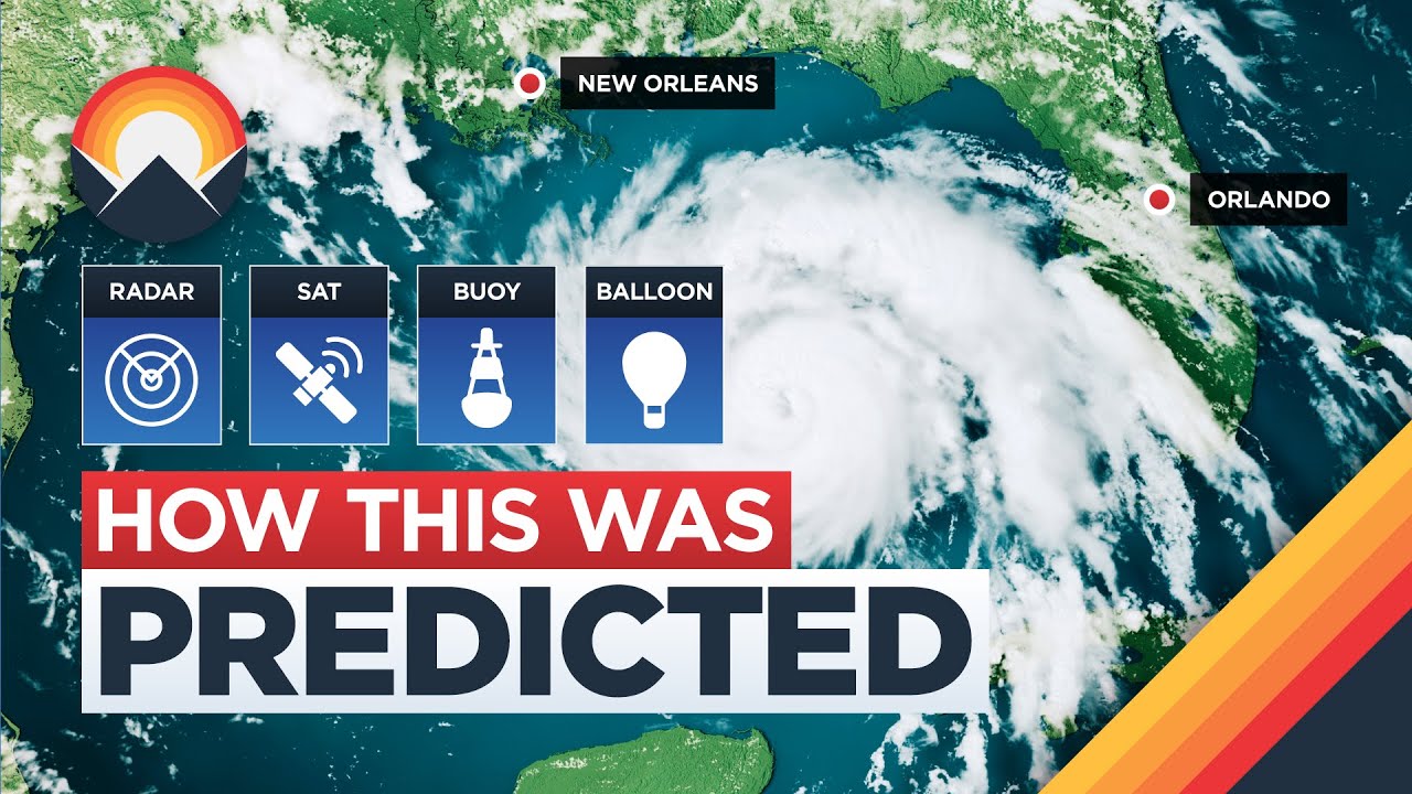
Lightning’s another telltale sign. If you see flashes without thunder, the storm’s still miles off—sound travels slower than light, after all. For a closer look at how storms form, our page on weather cyclogenesis and storm formation breaks it down. Want to track one live? The National Weather Service’s Storm Radar is a free tool to see what’s brewing near you.
How Do You Know If a Storm Is Forming? Understanding Cloud and Air Movement
Wondering how to tell if a storm is coming or going? Start with the clouds—they’re your first clue. Wispy cirrus clouds high up might mean fair weather now, but if they thicken into towering cumulonimbus, trouble’s on the horizon. Those anvil-shaped thunderheads are a dead giveaway—storms are forming fast. You might even catch a whiff of ozone, that sharp, clean scent from lightning splitting the air.
Temperature’s another hint. A quick drop often pairs with a pressure shift, signaling the storm’s engine is revving up. Watch the skies and feel the air—nature’s telling you everything you need to know. For real-time radar backup, try Weather and Radar—a handy site for storm spotters.
What Happens Before the Storm? A Step-by-Step Breakdown
Let’s zoom in closer—here’s what you’ll notice as a storm closes in. About 30 minutes out, the air feels heavy and humid, winds get patchy, and the sky turns a moody gray. At 15 minutes, you might hear distant thunder rumbling as pressure keeps dropping—animals like squirrels might scamper for cover too.
Five minutes before? That’s when it gets real. Sudden gusts whip up, light rain or sprinkles tease the ground, and you might feel static prickling your skin from nearby lightning. Want a visual? Check out this YouTube clip from meteorologist Reed Timmer—it’s a perfect breakdown of storm signs in action:
Timmer’s chasing a storm here, but the cloud shifts and wind cues he points out match what you’ll see at home. Pair this with a weather alert radio to stay safe when the storm hits.
Pre-Storm Timeline: Estimated Lead Time
Typical lead time you can expect for various natural indicators before a thunderstorm arrives.
High-Level Clouds (Longest Lead Time)
Barometric Pressure Drop (Long Lead Time)
Humidity Increase (Moderate Lead Time)
Distant Thunder/Lightning (Short Lead Time)
Sudden Gusts/Light Rain (Very Short Lead Time)
Legend:
- Long / Longest Lead Time
- Moderate Lead Time
- Short / Very Short Lead Time
How Do You Feel When There Is a Storm Coming?
Have you ever felt jittery or off-balance right before the sky opens up? It’s not just in your head—your body can pick up on a storm’s approach in weird ways. Some folks swear their joints ache more when a storm’s near, thanks to that drop in barometric pressure we mentioned earlier. Sinus headaches or migraines can flare up too—studies from Harvard Health suggest about 1 in 3 people are weather-sensitive. Others feel a static buzz in the air, like their hair’s standing on end from nearby lightning.
Emotionally, it’s a mixed bag. Anxiety might creep in as the sky darkens, or you could feel oddly restless. Is it myth or science? A bit of both—while some claim they’re human barometers, research says it’s more about subtle cues we all pick up. Either way, how do you feel when there is a storm coming? Your body might know before your phone does.
How to Know If a Snowstorm Is Coming: Cold Weather Warning Signs
Winter storms play by their own rules, and knowing how to tell if a snowstorm is coming can save you from getting caught off-guard. Start with the air—a sharp temperature plunge often signals snow’s on the way, especially if it’s paired with a heavy, damp chill. Look up: a halo around the moon or sun, caused by ice crystals in high cirrus clouds, is a classic hint of brewing snow, per the National Weather Service. Heavy frost the night before can mean moisture’s ready to freeze into flakes.
Animals tip you off too. Squirrels stockpiling nuts or birds huddling quietly? They’re bracing for a blizzard. Wind’s a clue as well—steady gusts from the north or east often drag cold, snowy air in tow. Living in Alabama? Our Alabama weather stations and alerts page can help you spot local snow risks, rare as they might be. For live updates anywhere, Wunderground’s Live Storm Radar is a solid free tool.
Practical Tips: What to Do If You Detect a Storm Coming
So, you’ve spotted the signs—dark clouds, antsy cows, a headache brewing. Now what? Safety comes first. For thunderstorms, stay indoors away from windows; if you’re outside, avoid open fields or tall trees—lightning loves a target. Tornado vibes (greenish sky, roaring wind)? Head to a basement or sturdy interior room. Snowstorm looming? Stock up on blankets, food, and a shovel before it hits.
Build an emergency kit: flashlight, batteries, water, snacks, and a weather alert radio to stay in the loop. Protect your electronics too—unplug gadgets to dodge lightning surges. Caught outdoors? Find shelter fast, but skip metal structures. Our weather education hub has more prep tips to keep you storm-ready.
Need a quick reference? Here’s a storm prep table:
| Storm Type | Key Sign | Action |
|---|---|---|
| Thunderstorm | Dark cumulonimbus | Stay indoors, unplug devices |
| Tornado | Shelf clouds, wind roar | Seek basement or low shelter |
| Snowstorm | Halo around moon | Stock supplies, stay warm |
Trusting Nature’s Signals
Storms don’t need a forecast to announce themselves—nature’s got its own playbook. From shifting winds and moody clouds to creaky joints and skittish birds, the signs are there if you look. Practice spotting them next time you’re outside—maybe on a hike or just in your backyard. Pair these tricks with tools like our storm formation guide or a quick radar check, and you’ll be weather-wise in no time. Stay curious, stay safe, and keep exploring the skies—nature’s always got something to say!
Fog Driving FAQs: Your Top 5 Questions Answered
Fog still foggy? Here’s a fresh take on your top 5 questions about driving in these tricky conditions.
Why’s fog thicker at night?
Nighttime typically brings cooler temperatures and calmer winds, especially in valleys or low-lying areas. This allows the ground to cool significantly and the air above it to reach its dew point, leading to more condensation and thus denser fog. The lack of sunlight also means fog can persist longer and appear more opaque.
Does radar cut through fog?
Not perfectly. Weather radar is designed to detect larger precipitation particles like rain, snow, or hail. Fog consists of extremely tiny water droplets that are generally too small to be effectively detected by conventional radar. While specialized research radars might detect some fog characteristics, your car’s sensors (like adaptive cruise control or collision avoidance) can also struggle in dense fog, as they often rely on radar or lidar that can be interfered with by thick mist.
What’s the nastiest fog type?
Freezing fog is arguably the nastiest type of fog. It occurs when supercooled water droplets (which remain liquid despite being below freezing) freeze instantly upon contact with any surface, including roads, car windows, and power lines. This creates a treacherous layer of ice that can be extremely slippery and dangerous, far more so than regular liquid fog.
When’s fog too bad to drive?
The general safety guideline is: if you cannot see more than 100 feet (approximately 30 meters) ahead of your vehicle, it’s considered too dangerous to drive. This means you should safely pull over to a rest stop, gas station, or a wide, well-lit shoulder (away from traffic lanes) and wait for conditions to improve. Pushing through zero-visibility fog significantly increases your risk of a collision.
Why’s fog worse in some spots?
Fog often forms or becomes denser in specific geographical locations due to factors that promote condensation and trapping of moist air. Valleys and low-lying areas, especially near rivers or large bodies of water (like oceans or lakes), are prone to severe fog because cold, dense air sinks into these areas, and moisture is readily available. Coastal regions often experience dense advection fog as warm, moist ocean air moves over colder land or water. Topography and proximity to moisture sources are key.
- Proster Handheld Anemometer
- Why the Weather Feels Different in Your Neighborhood Than the Forecast
- The Power and Impact of Supercells: Nature’s Most Formidable Thunderstorms
- This Emergency Radio Will Save You in a Crisis
- 72-Hour Survival Guide: Weather Monitoring During Grid Failure
- Ambient Weather WS-2902C Review: Best Value in 2026?
