
As an Amazon Associate, I earn from qualifying purchases.
In this article 8 sections
Super El Niño 2026: What It Means for Hurricanes, Heatwaves and Extreme Weather
The short answer: El Niño developed in early June 2026 and has kept strengthening. In its October 8, 2026 update, NOAA wrote that El Niño "continues to strengthen". A strong-to-very strong El Niño is likely through January to March 2027 (a greater than 83% chance), and NOAA now puts the chance of an event during October to December that would be historically strong, stronger than any since 1950, at 83% (NOAA CPC). That is a forecast, not yet a fact. The Atlantic hurricane season has been extremely quiet: no hurricane had formed by late September, a first since 1914.
NOAA satellite data shows rapidly warming Pacific Ocean conditions consistent with an intensifying El Niño event entering autumn 2026.
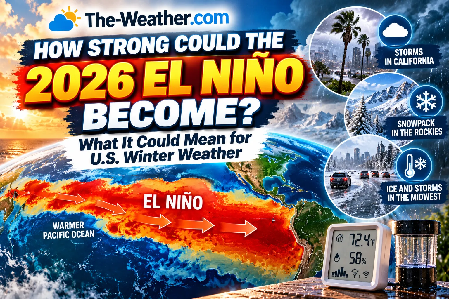
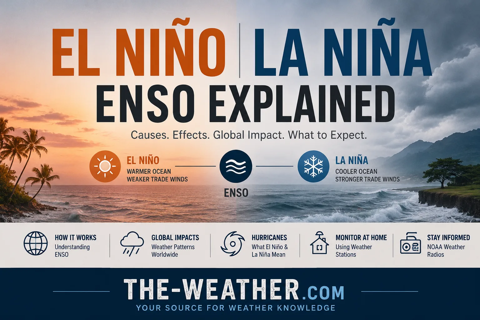
This page tracks the 2026 El Niño event as it develops: current strength, the forecast trajectory, what it means for the Atlantic hurricane season, and how it compares to past super El Niño events. It connects to our ENSO explainer for the underlying science. What it could mean for your winter, region by region, is in how strong could the 2026 El Niño become.
Current Status: What NOAA Has Confirmed
October 2026 update: NOAA keeps the El Niño Advisory in effect. In its discussion of October 8, 2026 it wrote that El Niño "strengthened further last month, with sea surface temperature anomalies exceeding +4.0°C in portions of the eastern equatorial Pacific." The monthly Niño-3.4 index reached +2.1°C, and NOAA expects El Niño to keep strengthening through the end of the year (NOAA CPC). The next NOAA update is due on November 12, 2026.
September 2026 update: NOAA keeps an El Niño Advisory in effect and wrote that El Niño "strengthened over the past month, with sea surface temperature anomalies exceeding +3.0°C in the eastern equatorial Pacific." At that time it gave a greater than 90% chance of a very strong event during the fall and winter of 2026-27 (NOAA CPC). Since February 2026, NOAA measures El Niño strength with the Relative Oceanic Niño Index (RONI), which compares the Niño 3.4 region with the rest of the tropical oceans (NOAA CPC).
How it started (June 2026):
NOAA's National Weather Service announced in early June 2026 that El Niño has developed in the tropical Pacific and issued an El Niño Advisory. Waters in the Niño 3.4 monitoring region warmed to more than 0.5°C above average, and the Walker Circulation, the east-west atmospheric pattern that breaks down during El Niño, showed clear signs of weakening, confirming the onset of El Niño conditions.
The pace of intensification has been notable. The observed sea surface temperature anomaly reached +0.48°C during the March–May 2026 period, climbed to +0.94°C in May, and the weekly Niño 3.4 index centred on June 17, 2026 reached +1.7°C: already within strong El Niño territory and rising.
In June, NOAA's Climate Prediction Center calculated a 63% chance the event would eventually strengthen to a "super" El Niño: sea surface temperatures at least 2.0°C above average. Multi-model ensemble forecasts then showed roughly 90% odds of at least "strong" intensity (1.5°C+). By September those odds had moved well into very strong territory.
2026 El Niño Timeline
Sea surface temperature anomaly in the Niño 3.4 region reaches +0.48°C: early warming signal detected.
Anomaly climbs to +0.94°C. NOAA's 2026 Atlantic hurricane season outlook released, citing developing El Niño as a factor in the below-normal forecast.
NOAA's National Weather Service officially declares El Niño has developed and issues an El Niño Advisory. Walker Circulation breakdown confirmed.
Weekly Niño 3.4 index reaches +1.7°C: already in strong El Niño range, well ahead of typical seasonal pace.
NOAA lowers its Atlantic hurricane outlook to 7 to 13 named storms and 2 to 6 hurricanes, with a 75% chance of a below-normal season, citing El Niño.
NOAA: greater than 90% chance of a very strong El Niño this fall and winter, and a forecast 75% chance of a historically strong event during October to December.
NOAA: El Niño "continues to strengthen". The monthly Niño-3.4 index stands at +2.1°C, and the chance of a historically strong event during October to December rises to 83%.
The Atlantic reaches late September without a hurricane for the first time since 1914. See why the 2026 season has had no hurricanes.
Models project peak event intensity. 13 of 24 IRI ensemble models indicate a very strong El Niño (Niño 3.4 ≥ +2.0°C) during this window: the highest-confidence peak forecast window.
Strongest global weather impacts typically follow peak ocean temperatures by 1–3 months: expect the most significant US winter weather effects during this period.
How Strong Will the 2026 El Niño Get?
NOAA classifies El Niño strength with a 3-month average of sea surface temperature departures in the Niño 3.4 region of the central equatorial Pacific, since February 2026 using the Relative Oceanic Niño Index (RONI). The table shows NOAA's October 2026 probabilities for the October to December season, read from NOAA's chart (NOAA CPC strength probabilities).
| Strength category | Index threshold | Probability, Oct to Dec 2026 (NOAA, October) |
|---|---|---|
| Very Strong ("Super") | ≥ +2.0°C | About 100% |
| Strong | +1.5°C to +1.9°C | About 0% |
| Moderate | +1.0°C to +1.4°C | 0% |
| Weak | +0.5°C to +0.9°C | 0% |
NOAA also puts the chance that the October to December index reaches +2.5°C or more at 83% (it was 75% in September). That would exceed every El Niño since 1950. Whether that happens will only be known once the data is in. Back in June, some individual model ensembles, particularly the ECMWF, already showed forecasts topping out at 2.5°C or higher. The GFDL SPEAR prediction system's June run shows a high probability of a very strong event by fall, with reduced forecast uncertainty compared to the previous month's run: meaning forecasters are growing more confident in the high-end outcome, not less.
How 2026 Compares to Past Super El Niño Events
Super El Niño events, those reaching 2.0°C or higher, are rare. The classic examples since 1950 are 1972-73, 1982-83, 1997-98 and 2015-16, and historical reconstructions also point to big events in 1877-78 and 1888-89. "Super" is a nickname: NOAA's official top class is "very strong". The full list is on our page with the strongest El Niño events in history.
The 1997–98 event remains the strongest of the 20th century and the 2015–16 event crushed global temperature records, with both years remaining among the ten warmest years on record even today. El Niño temporarily raises global average temperatures by acting as what climate scientists describe as a "thermostat": releasing heat stored in the subsurface tropical Pacific Ocean into the atmosphere over a 6–12 month period.
2026 Hurricane Season: The El Niño Effect
NOAA's 2026 Atlantic hurricane season outlook, issued in May, gave a 55% probability of a below-normal season. Its August 6 update raised that to 75%, with 7 to 13 named storms, 2 to 6 hurricanes and 0 to 2 major hurricanes, pointing to "the growing influence of El Niño" (NOAA). The season then turned out even quieter: no hurricane had formed by late September, a first since 1914 (why the 2026 season has had no hurricanes). Stronger upper-level winds associated with El Niño tend to suppress storm and hurricane development in the Atlantic basin, while the same atmospheric pattern tends to enhance tropical development in the eastern and central Pacific.
This does not mean zero risk. A below-normal season can still produce landfalling hurricanes: the relationship between ENSO and hurricane activity is probabilistic, reducing the overall number and intensity of storms on average without eliminating individual storm risk. For complete coverage of how El Niño specifically affects Atlantic hurricane development see our El Niño and Atlantic hurricanes article.
For households in hurricane-prone regions, a below-normal seasonal forecast is not a reason to reduce preparedness: it is a reason to remain alert during whatever storms do form, since this El Niño's strength means seasonal patterns could shift quickly as the event evolves.
What to Expect Across the US: Winter 2026–27
Increased winter precipitation likely as the jet stream shifts south, directing the storm track over the southern tier of the US. Elevated risk of flooding and high tide coastal flooding, particularly on the West Coast.
Stormier weather more likely, with increased chances of both rain and snow during a strong El Niño winter compared to typical years.
Milder than average winter temperatures expected as the southward-shifted jet stream keeps the coldest Arctic air further north than usual.
Warm water species migrating north, cold water species moving into deeper or more northern waters. Increased risk of harmful algal blooms along the US West Coast, consistent with past El Niño episodes.
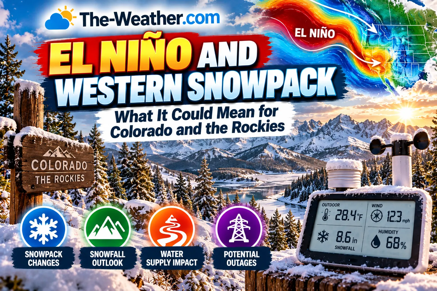
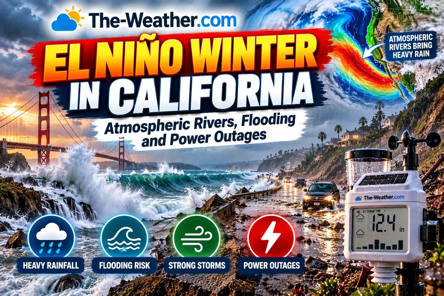
NOAA's September 2026 seasonal outlook shows "a classic El Niño signature": better odds of a wet winter across the southern and central U.S. and California, a milder northern U.S., and modest dry tilts over the interior Northwest and Great Lakes (NOAA CPC). Region by region: California, Colorado and the Rockies, the Midwest.
These represent the historically typical El Niño winter pattern based on NOAA composites: individual seasons vary, and a very strong event like the one developing in 2026 can produce amplified or atypical regional impacts compared to weaker events.
What to Monitor at Home During This El Niño
A strengthening super El Niño means increased rainfall risk for California and the southern US this winter, paired with a quieter than average, but not risk-free, Atlantic hurricane season. The right home setup depends on which risk applies to you.
Full rainfall, wind, and barometric pressure tracking: essential for California and Southern US households monitoring El Niño-driven rainfall through winter 2026–27. Lightning detection adds severe weather awareness during active storm periods.
Wind, rain, pressure, and humidity tracking with Weather Underground integration: a strong lower-cost option for monitoring seasonal rainfall trends through this El Niño event.
A strong El Niño winter still means stormier weather across the southern US even with a quieter hurricane season. S.A.M.E. county programming ensures National Weather Service alerts reach you independent of internet or cellular networks.
Frequently Asked Questions
Is a super El Niño happening in 2026?
El Niño developed in early June 2026. NOAA's October 2026 update calls a strong-to-very strong El Niño likely through January to March 2027 (a greater than 83% chance). Its October strength chart shows the very strong class (2.0°C or more, often called "super") as close to certain for October to December. Whether it ends up historically strong is still a forecast.
How strong is the 2026 El Niño compared to past events?
In October 2026, NOAA reported sea surface anomalies above +4.0°C in parts of the eastern equatorial Pacific and put the chance that the October to December index reaches +2.5°C or more at 83%, which would exceed every El Niño since 1950, including 1982-83, 1997-98 and 2015-16. That is a forecast, not yet a measured result.
When will the 2026 El Niño peak?
NOAA's October 2026 probabilities show the event at its strongest in October to December 2026 and weakening during spring 2027. The strongest U.S. weather impacts typically follow in winter (December 2026 through February 2027).
How will the 2026 El Niño affect hurricane season?
NOAA's August 2026 update gave a 75% chance of a below-normal Atlantic season, attributed to El Niño's increased wind shear. By late September no Atlantic hurricane had formed, a first since 1914. The season runs until November 30, so late storms are still possible.
What causes El Niño, how the Niño 3.4 index works, and the full historical record of past events.
Our roundup of weather stations built for tracking severe weather during an active El Niño hurricane season.
Sources
El Niño Advisory and forecast data from NOAA News Release June 2026 and NOAA Climate Prediction Center ENSO Diagnostic Discussion (September 10 and October 8, 2026), NOAA CPC ENSO strength probabilities, NOAA CPC seasonal outlook (September 17, 2026) and NOAA Atlantic hurricane outlook (August 2026 update). Ensemble model forecasts from IRI/CCSR ENSO Quick Look June 2026 and GFDL SPEAR June 2026 Predictions. Global probability data from World Meteorological Organization El Niño Update. Historic super El Niño events per NOAA Climate Prediction Center records. No manufacturer compensation received. This page is updated as new NOAA data becomes available: see dateModified above for last update.

Lena Thornton
Weather Station Analyst & CWOP Contributor. Lena tracks ENSO developments and translates NOAA forecast data into actionable home weather monitoring guidance. Updated October 2, 2026.